

As part of our continuing commitment to innovation, we've added new nationwide flood and wetlands data to all U.S. ZoomProspector Enterprise web pages as well as ZoomProspector.com, the US national site selection portal. The layers, which come from FEMA and the U.S. National Fish and Wildlife Service, are very detailed.
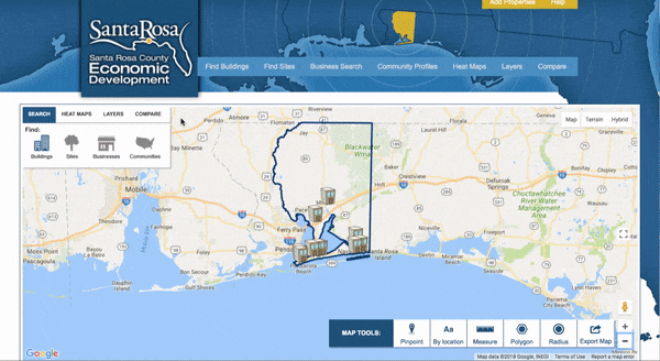
To find these layers on any ZoomProspector Enterprise web tool, click on layers and then choose Environmental from the dropdown box, as shown in the GIF below. Try it out for yourself!
Want to know more about how ZoomProspector Enterprise can work for your economic development organization? Get in touch today!